Large-Scale Color Map - Map scale = 1 inch: 0.3 mile (or 1,620 feet).
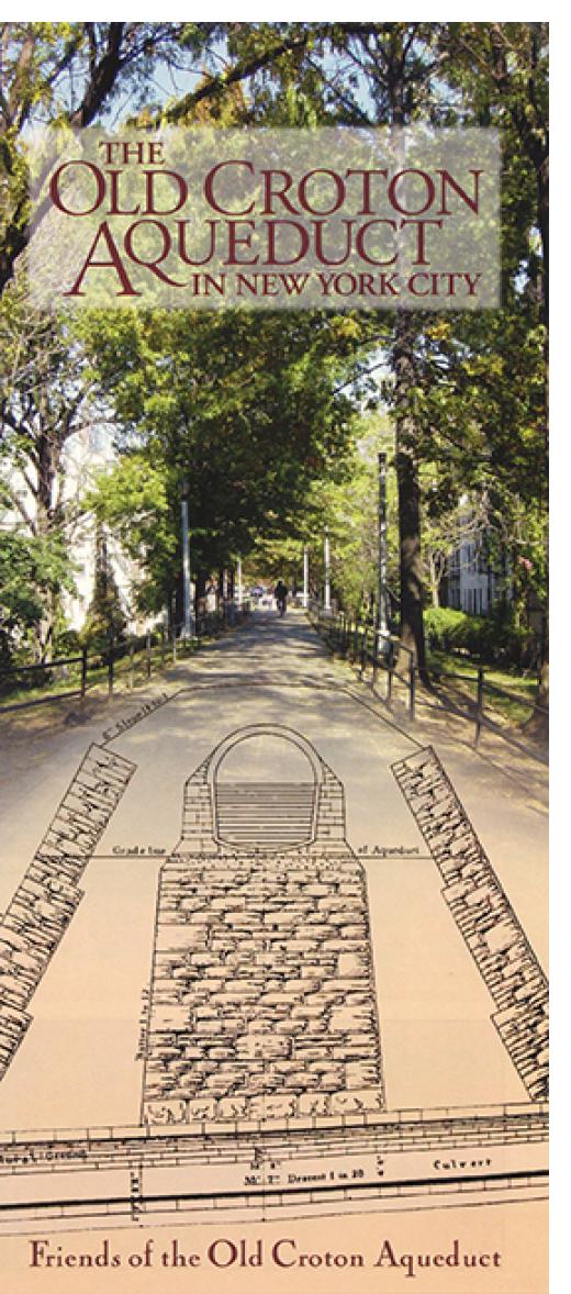
The Friends published a map and guide of the Aqueduct from the Yonkers-New York City line to its distributing reservoir, at the present site of the New York Public Library in Manhattan. The map completes the story of the 1842 engineering marvel, 41 miles in total, that brought New York City its first supply of clean, plentiful water and thus contributed to its rapid growth. At the time, the developed part of New York City, the area first served by Croton water, consisted of Manhattan Island from the Battery to about 20th Street. From the city line there is a visible walking route through the city parkland, paved and unpaved, atop parts of the Aqueduct’s six to seven mile course through the Bronx, which in 1842 was still part of Westchester County. The water tunnel then crossed the Harlem River on the High Bridge, the city’s oldest existing bridge, and entered Manhattan in what is now High Bridge Park, where there remains about a mile of visible trail. One then needs a guide to “read” and follow southward the handful of remaining traces of the Aqueduct’s presence. You can buy this or you can get it as a free benefit of Membership!