Maps

Although all of our credit card orders are fulfilled by Paypal you do not have to have a Paypal account to donate! Once you get to Paypal's payment page, just make sure to select the "I don't have a Paypal account" option and you can pay with any credit card.

If you would prefer to send a check, you may print out this FORM and mail with your payment.

We are an all-volunteer organization. Orders may take up to 10 days to process, longer in the summertime. If you need a map ASAP, please go to any one of our retailers to get one faster.

The Friends of the Old Croton Aqueduct is a 501(c)3 non-profit organization. All donations are tax-deductible.

SHIPPING WILL BE CHARGED BASED ON WEIGHT. SALES TAX WILL BE ADDED FOR PURCHASES WITHIN NY STATE
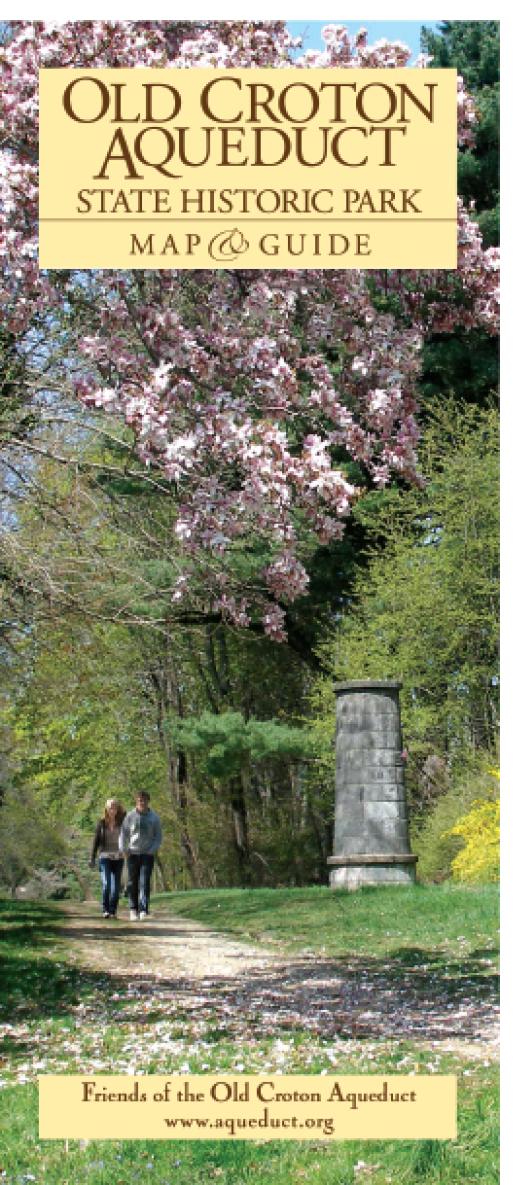
Old Croton Aqueduct map - Westchester section

Map - Westchester Section

THIRD EDITION
Now Available

  • Over a dozen new photographs and illustrations
  • Updated site descriptions
  • Up-to-date trail route and street changes
  • New and extended trails and connections
  • Location of former Keeper’s Houses
  • New detours, street crossings and cautions to enhance safety
  • Location of planned Shared Use Path across the new bridge and its Visitor Pavilion
  • New sites of interest, parks, paths, greenway, and historic district

Large-Scale Color Map - Map scale = 1 inch:3/4 of a mile. This is the 3rd edition of the award-winning map that the Friends of the Old Croton Aqueduct, Inc. first published in 1998. It is a two-sided color map and guide of the trail that highlights its history, includes more detail on navigating the more difficult sections of the trail and important sites of interest along the way.

Price: $5.00
CAPTCHA
This question is for testing whether or not you are a human visitor and to prevent automated spam submissions.
1 + 0 =
Solve this simple math problem and enter the result. E.g. for 1+3, enter 4.
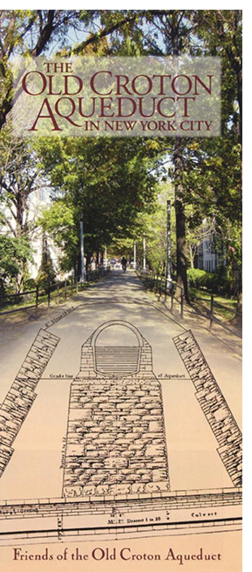
Old Croton Aqueduct map - NYC section

Map - New York City Section

Large-Scale Color Map - Map scale = 1 inch: 0.3 mile (or 1,620 feet).

The Friends published a map and guide of the Aqueduct from the Yonkers-New York City line to its distributing reservoir, at the present site of the New York Public Library in Manhattan. The map completes the story of the 1842 engineering marvel, 41 miles in total, that brought New York City its first supply of clean, plentiful water and thus contributed to its rapid growth. At the time, the developed part of New York City, the area first served by Croton water, consisted of Manhattan Island from the Battery to about 20th Street. From the city line there is a visible walking route through the city parkland, paved and unpaved, atop parts of the Aqueduct’s six to seven mile course through the Bronx, which in 1842 was still part of Westchester County. The water tunnel then crossed the Harlem River on the High Bridge, the city’s oldest existing bridge, and entered Manhattan in what is now High Bridge Park, where there remains about a mile of visible trail. One then needs a guide to “read” and follow southward the handful of remaining traces of the Aqueduct’s presence. You can buy this or you can get it as a free benefit of Membership!

Price: $5.00
CAPTCHA
This question is for testing whether or not you are a human visitor and to prevent automated spam submissions.
16 + 4 =
Solve this simple math problem and enter the result. E.g. for 1+3, enter 4.